
Aviation

Aviation runs on satellite navigation, and satellite navigation is under attack. Jamming and spoofing affect hundreds of flights a day, feeding false positions to aircraft and tripping terrain warnings in clear air. The equipment behind it costs less than an airline ticket. The industry copes through rerouting, crew training, and procedures for flying through interference. All of these treat the symptom and leave the source untouched.
PlatypOS instruments the environment instead. It detects satellite-navigation interference at onset, identifies whether it is jamming, spoofing, or an equipment fault, and locates the source — the GPS repeater left switched on in a hangar, the jammer in a truck passing on the highway, the drone controller near the fence line. Airfields and approach corridors share one unified picture, and every event is timestamped and georeferenced for safety reporting and referral to regulators or police. Resilient positioning comes from the radio signals already present in the environment. Airborne detection is in development with airline partners.
Timestamped, georeferenced event logging for safety reporting and referral to regulators or police.
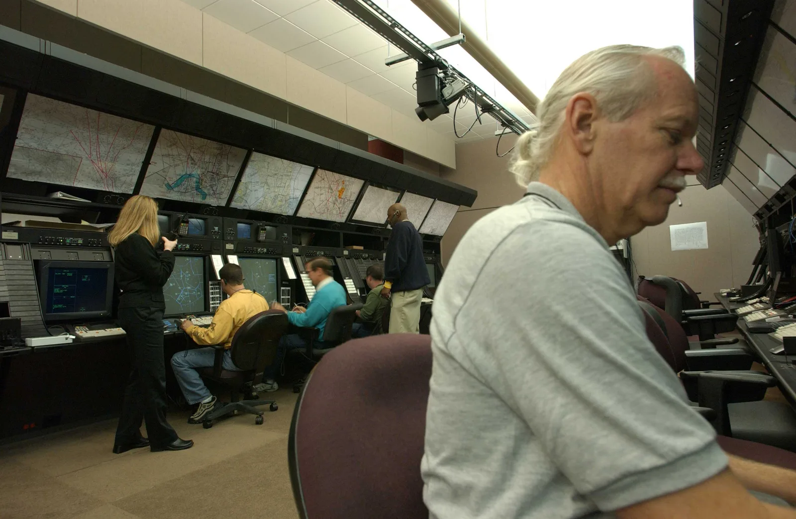
Satellite-navigation interference caught at onset and traced to a source around airfields and approach corridors.
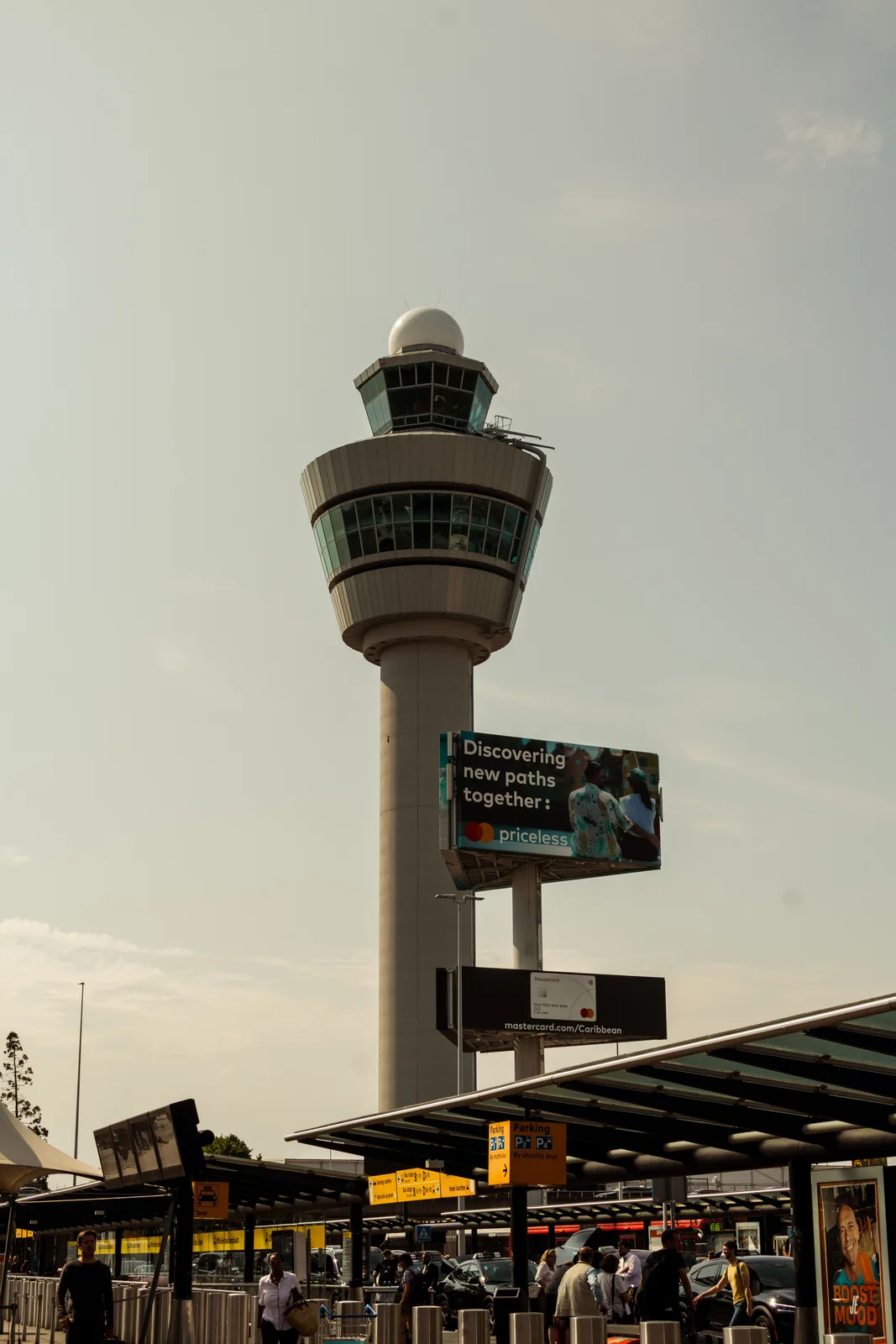
Jamming, spoofing, and equipment fault told apart, so crews and controllers act on measured data, not anecdote.

Drone control links detected before the aircraft is visually acquired — runway incursions seen early.
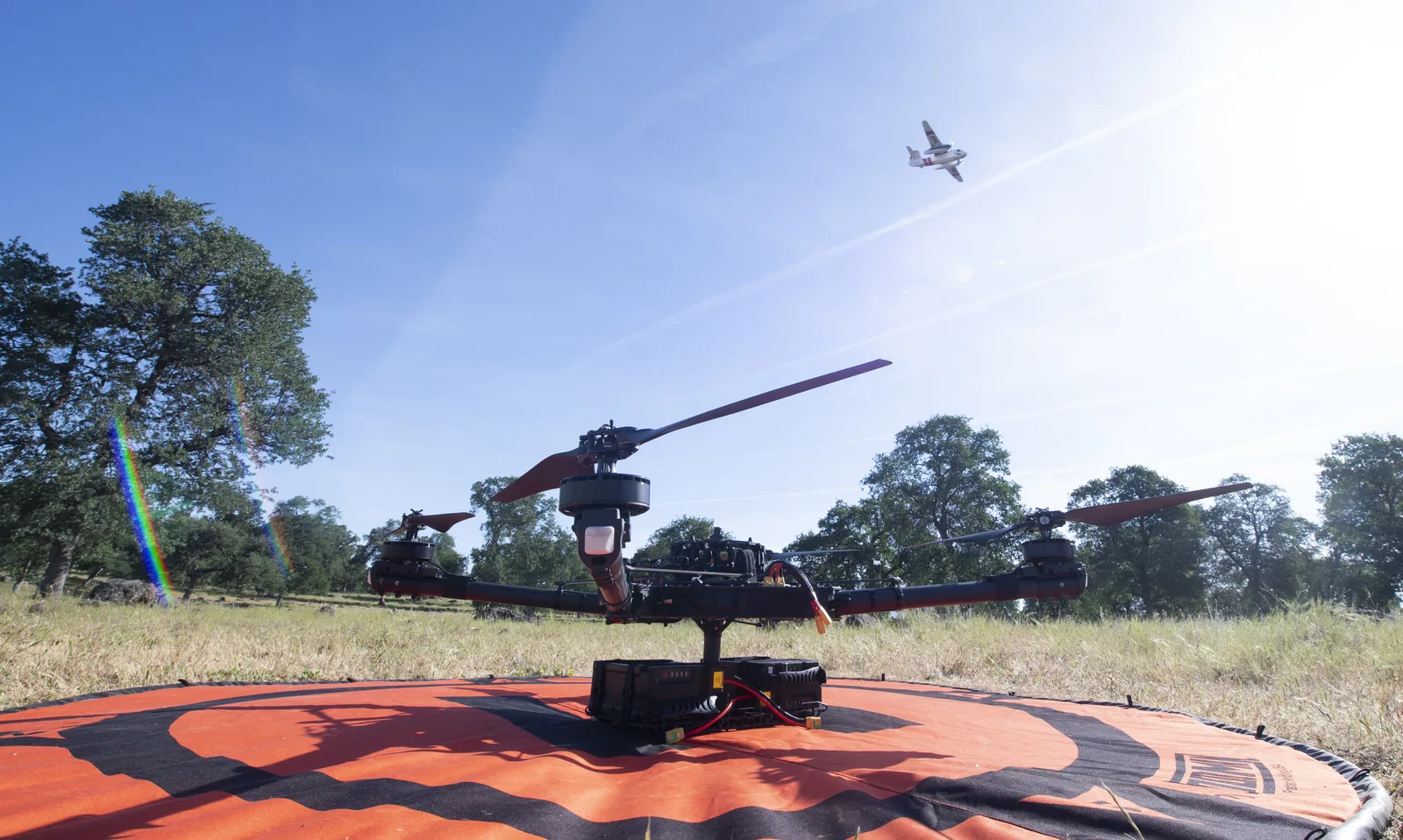
An independent position reference drawn from ambient signals when satellite navigation degrades.

Timestamped, georeferenced event logging for safety reporting and referral to regulators or police.
Satellite-navigation interference caught at onset and traced to a source around airfields and approach corridors.